March 6, 2024
Mid-Winter Flooding
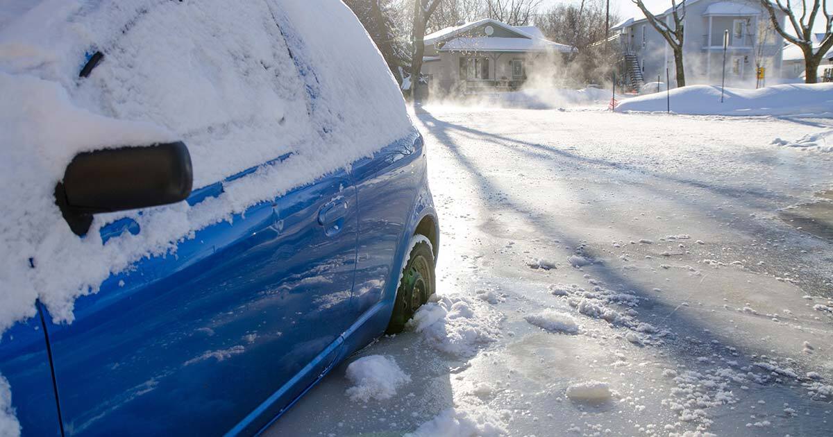
Winter flooding occurs mainly during mild spells accompanied by rain-on-snow conditions when river ice is well formed. Under certain conditions, the winter snowpack can cause rainwater and meltwater to move laterally and quickly reach waterways. The massive influx of water into waterways with frozen surfaces increases pressure under the ice, which eventually breaks up.
Unlike in spring, river ice in winter is not weakened by gradual spring warming. It has far fewer weak spots and breaks into large slabs. These slabs eventually accumulate on natural or artificial riverbed obstacles. Accumulating as ice jams, these ice blocks ultimately form a natural dam, blocking water passage and causing a sudden rise in water levels upstream.
The resulting floods are more localized than those that occur in the spring. However, they are less predictable and are followed by abrupt cooling, which freezes both the ice jam and the flooded areas in the ice.
Far more than just a rise in average temperatures, climate change is causing an upsurge in the variability of weather conditions. Extreme events are increasing in both intensity and frequency. Periods of intense cold in winter are increasingly interspersed with mild spells. Precipitation falls more often as rain than in the past instead of solid precipitation. The seasonal snowpack, therefore, accumulates less winter precipitation than in the past and becomes denser: its ice content increases, as does its impermeability. These conditions cause rapid runoffs of rainwater or meltwater into waterways, increasing the risk of winter flooding.
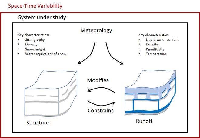
Summary of physical processes under study
It is in this context that our research program in Quebec comes into play. Specifically, we are studying how the snowpack structure affects water flows and how, in turn, flows modify the snowpack structure. We aim to better understand the complexity of the physical processes involved in rain-on-snow events so that they can be better integrated into hydrological models. Indeed, the models currently used to forecast these events are not designed to reproduce winter flows in a complex, multi-layered environment and fail to simulate winter flooding adequately.
The ÉTS Sainte-Marthe Site: A State-of-the-Art Open-Air Laboratory
The ÉTS Sainte-Marthe site boasts a network of hydrometeorological monitoring instruments unique in Quebec. It includes eight autonomous measuring stations spread over an 8 km2 area. These stations take more than 500 hydrometeorological measurements per hour, making the site a permanent observatory of the effects of climate change on water resources.
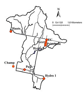
Map of ÉTS Sainte-Marthe site
A Multimethod Approach
Studying interactions between meteorology, snowpack structure and flows requires a multimethod approach, i.e. using a combination of different investigative methods. None of the methods used individually can provide sufficient information to advance knowledge. We’re talking about the joint use of high-frequency ground penetrating radars, photogrammetry from drone images, isotopic measurements or even the processing of hydrometeorological data recorded by stations.
Following this approach, master’s student Andréa Paquotte demonstrated that ice in the snowpack caused substantial lateral flows at the Sainte-Marthe site, a phenomenon previously seen only in mountain environments. Éole Valence, who has just completed his master’s degree, demonstrated how georadar-equipped drones can be used to characterize the water content of snow, an important factor in the snowpack’s response to rainfall.
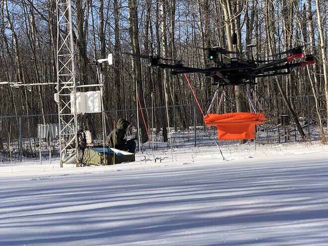
Ground penetrating radar-equipped drone
Conclusion
As explained, climate change creates favourable conditions for winter flooding in Quebec. This phenomenon is set to continue until we have… winterless winters.