February 24, 2026
She dreamed of becoming a historian or a captain in the merchant marine, but ultimately opted for computer science, somewhat by default, as she could not afford to attend a university far from home. Angélique Montuwy enjoyed it enough to complete a bachelor's and master's degree in software engineering. But something was missing. “We were forgetting the human element,” she notes. For Angélique, knowing the purpose of what we offer people is crucial.
Encouraged by her computer science professor, Olivier Ridoux, young Angélique enrolled in a bachelor's degree program, then a master's degree in educational technology at the University of Rennes. There, she felt right at home: technology was approached from sociological, anthropological, and psychological perspectives. She pursued her studies in cognitive ergonomics and earned her PhD in psychology in 2018 at Paris-Saclay University.
Her area of expertise: Geomatics
During her PhD, which focused on developing a GPS application for elderly pedestrians, Angélique discovered geomatics. “My work focused on data geovisualization,” she explains. Using digital twins and geographic information systems, the researcher explored new ways of interacting with the territory, at the interface of geography, computer science, and psychology.
For five years, Angélique Montuwy led projects in the mobility and digital twin sectors for applications in France, Monaco, and Singapore. Although she enjoyed this type of work, Ms. Montuwy felt restricted in her freedom of action. She wanted to return to the academic world.
ÉTS, a breeding ground for innovation
In 2023, Angélique Montuwy landed a position at Laval University as a research professional and lecturer in geomatics. She aspired to become a full-time professor to continue her research. Ultimately, it was ÉTS that opened its doors to her, hiring her as a design professor in the fall of 2025.
What is Angélique Montuwy doing in design at ÉTS when she has never studied in this field? Indeed, at the heart of design is the user. And Angélique Montuwy has developed tremendous expertise in analyzing human behaviour. As a matter of fact, engineering departments at ÉTS are increasingly emphasizing the importance of involving end users from the product and system design stage onwards.
Geomatics is for everyone
Although Professor Montuwy is involved in several projects, they all have one thing in common: making geospatial information accessible to support sustainable development. She is helping Canadian coastal communities collect data and monitor erosion in their territories, even if they do not have access to sophisticated technology.

ÉTS Professor Angélique Montuwy
In addition, Ms. Montuwy seeks to facilitate access for all citizens to information on built environments and cadastres through 3D representations, BIM, and multisensory accessible interfaces.
Meanwhile, Ms. Montuwy is pursuing her research on cartographic literacy. “Maps are misleading,” she warns. How can the spherical reality of planet Earth be represented on a flat surface? The choice of colours and proportions of volumes and shapes can be misleading. How can we guard against biases in our spatial representations? Another area to be explored.
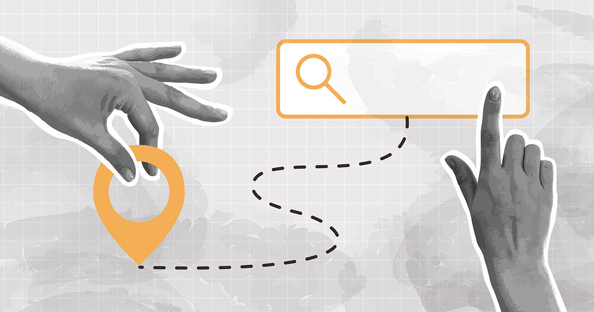
GPS and the hippocampus
The ultimate goal of Angélique Montuwy's research is to design a GPS navigation system that does not belittle users. “We have lost our ability of spatial orientation, which could have adverse consequences on our cognitive aging,” explains Professor Montuwy. The hippocampus, a region of the brain involved in processing spatial information, also plays a crucial role in building our memories. The more we train our brains to actively explore our surroundings, the more we'll be able to remember events in our lives. Why not use design to develop innovative and interactive route planning methods?
Angélique Montuwy encourages us to read our environment intelligently, not only to stimulate our cognitive abilities, but also to keep us on track.