June 3, 2026
At first glance, a map seems like a universal tool. Yet reading, understanding, and using it is far from straightforward for everyone. This observation is what guides the work of ÉTS Professor Angélique Montuwy. At the crossroads of design, geomatics, and cognitive science, she explores a question that seems simple on the surface but transforms the way we understand the lay of the land: how to make geospatial information truly accessible?
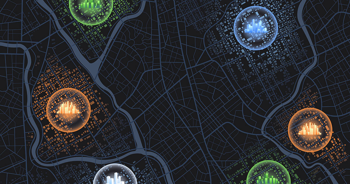
Beyond the map: Understanding geovisualization
Angélique Montuwy’s research goes beyond simply producing maps. Its goal is to develop methods and tools to leverage geospatial data in scientific and social contexts—this is known as geovisualization.
For her, this field of research leans on three complementary pillars. First, spatial cognition—that is, the way individuals perceive and understand space. Second, geomatics, which includes the technical aspects of data management: collection, storage, processing, and representation. Finally, UX design seeks to offer an intuitive, engaging, and meaningful experience of the territory.
In other words, simply producing a map is not enough: the geospatial information represented must be understandable, useful, and actionable for those who need it—regardless of its format!
Informational accessibility as a fundamental principle
Ensuring fair spatial experiences is the cornerstone of Professor Montuwy’s work. Whether in digital form or not, geospatial information must be accessible regardless of users’ perceptual or cognitive abilities and literacy levels.
This approach, known as information accessibility, goes beyond traditional accessibility standards. It involves not merely adapting an existing tool, but also rethinking how information is designed, structured, and presented.
This raises fundamental questions: What data is truly useful? In what form should it be presented? And for what specific purposes?
Three strategies for more accessible geospatial information
Angélique Montuwy’s work centers on three main types of initiatives.
First, understanding the real needs of individuals and communities to identify relevant knowledge and data, and appropriate data management tools.
Next, developing accessible representations by exploring 3D alternatives to traditional maps, digital twins, and methods that materialize information directly within the environment.
Finally, rethinking creative methods to bridge the gap between geospatial information and the territory experience, using creative and participatory methods attuned to local realities and usage contexts.
This participatory initiative is essential: it helps move away from a top-down approach, where experts impose their tools and knowledge, and instead builds solutions more firmly rooted in the needs and realities of local communities.
Practical projects in the environmental sector
Angélique Montuwy’s research takes shape through a variety of projects, primarily focused on environmental issues.
In hydrography, she is working on community-based bathymetry in collaboration with Université Laval. The goal is to make seabed mapping available to communities along the St. Lawrence River by developing simple tools tailored to the needs of various Indigenous and non-native communities.
She is also collaborating with the Port of Montreal on developing a digital twin to improve river management and support decision-making. Through interactive interfaces and human-centred approaches, these tools aim to make complex data more understandable for various stakeholders.
She is also focusing on issues of sustainable mobility and regional accessibility, whether to make urban navigation easier for people with disabilities or to explore how presenting information can encourage a shift toward active modes of transportation.
Finally, she is working on digital twins for buildings, especially at ÉTS, to improve indoor orientation, route planning, and integration of BIM models into their geospatial context.
The cognitive map at the heart of the experience
One unique aspect of her research is the concept of the cognitive map. While many current tools analyze the environment for the users, her work instead aims to encourage users to construct their own mental representation of space to facilitate decision-making.
Why is this important? Because our ability to construct mental images of our environment involves, in particular, the hippocampus. Overreliance on tools could weaken the hippocampus, with potential repercussions on cognitive aging.
The challenge, therefore, is to design tools that do more than provide passive assistance; they must actively stimulate spatial understanding and memory.
A broader view of geovisualization
Angélique Montuwy’s research shows that geovisualization is not limited to maps. It takes many forms: digital twins, signage, physical installations, and immersive experiences.
Her work, rooted in both design and environmental engineering, aims to make engineering knowledge accessible; not by oversimplifying, but by giving everyone the means to understand, interpret, and act.
Ultimately, her work could transform the way we interact with our environment—whether it involves navigating, planning, making decisions, or simply better understanding the space around us.
What if, in the end, a good map isn’t the one that tells us where to go, but the one that teaches us how to find our own way?